Our services.
-

Progress Monitoring
Provide real-time insights, facilitating prompt decision-making and issue identification. Enable comprehensive documentation and visualization of progress, aid in progress tracking and reporting against project timelines, and support improved planning and decision-making by providing detailed site data.
-

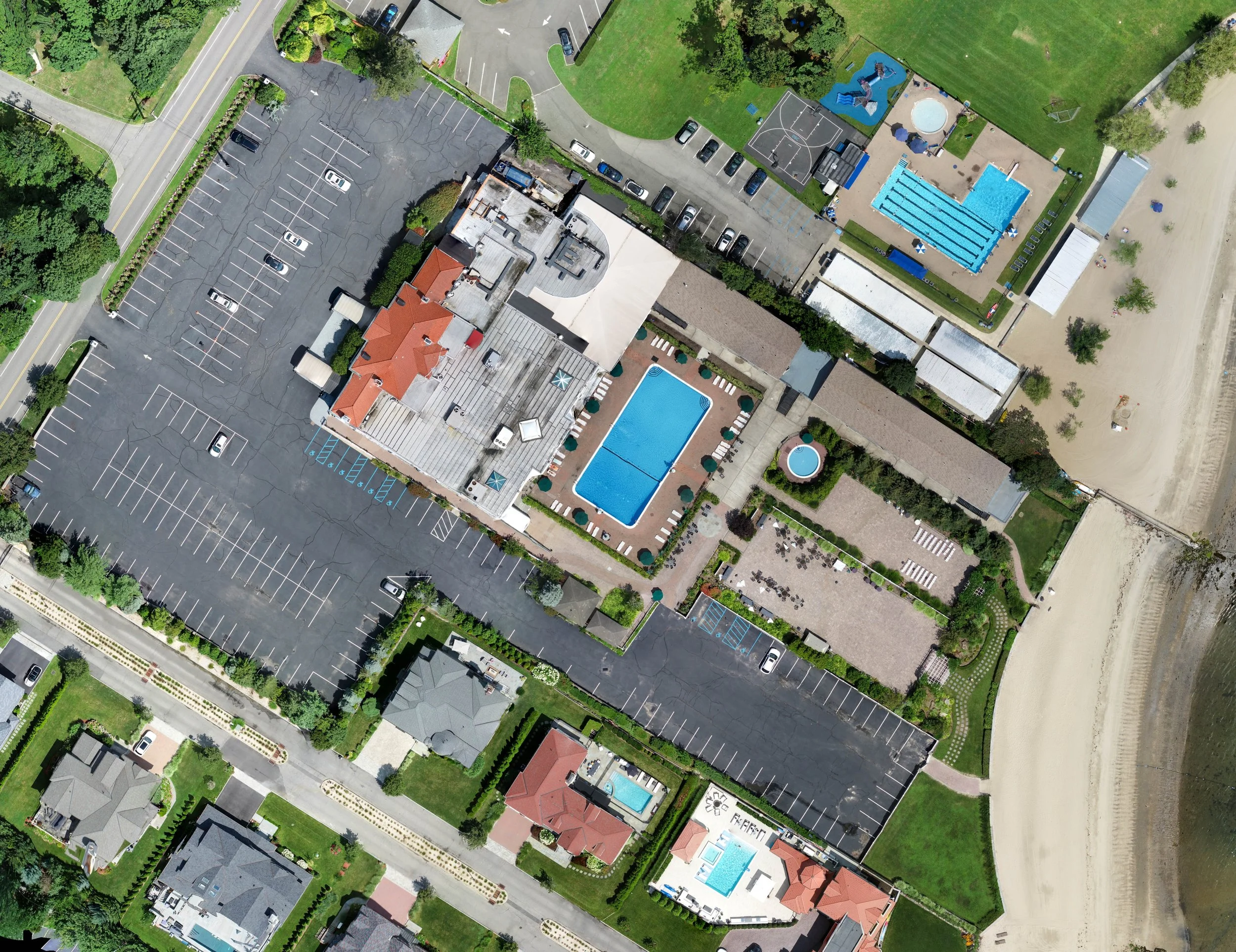
Mapping
Capture imagery with unparalleled detail, enabling precise measurements, analysis, and visualization of terrain, structures, and assets. Drone mapping reduces costs and time compared to traditional surveying methods, enhances safety by minimizing the need for ground personnel in hazardous environments, and provides valuable insights for informed decision-making, resource allocation, and regulatory compliance.
-

Modeling
Digital twin development captures intricate details and spatial relationships from aerial perspectives, drone 3D modeling facilitates better decision-making, streamlined workflows, and improved communication among stakeholders.
-

Photo/Video Editing
-
-

Advanced Measuring